Surveying
Providing quality land and engineering surveying services throughout Sydney and New South Wales.

When you’re looking for somebody to help you with your surveying needs, you should choose an organisation with the relevant experience and commitment, so you can get the job done right and on time. It doesn’t matter whether your project involves a major industrial development, a commercial concern, or a residential property, you will want to choose surveying consultants that fully understand your project.
Service Overview
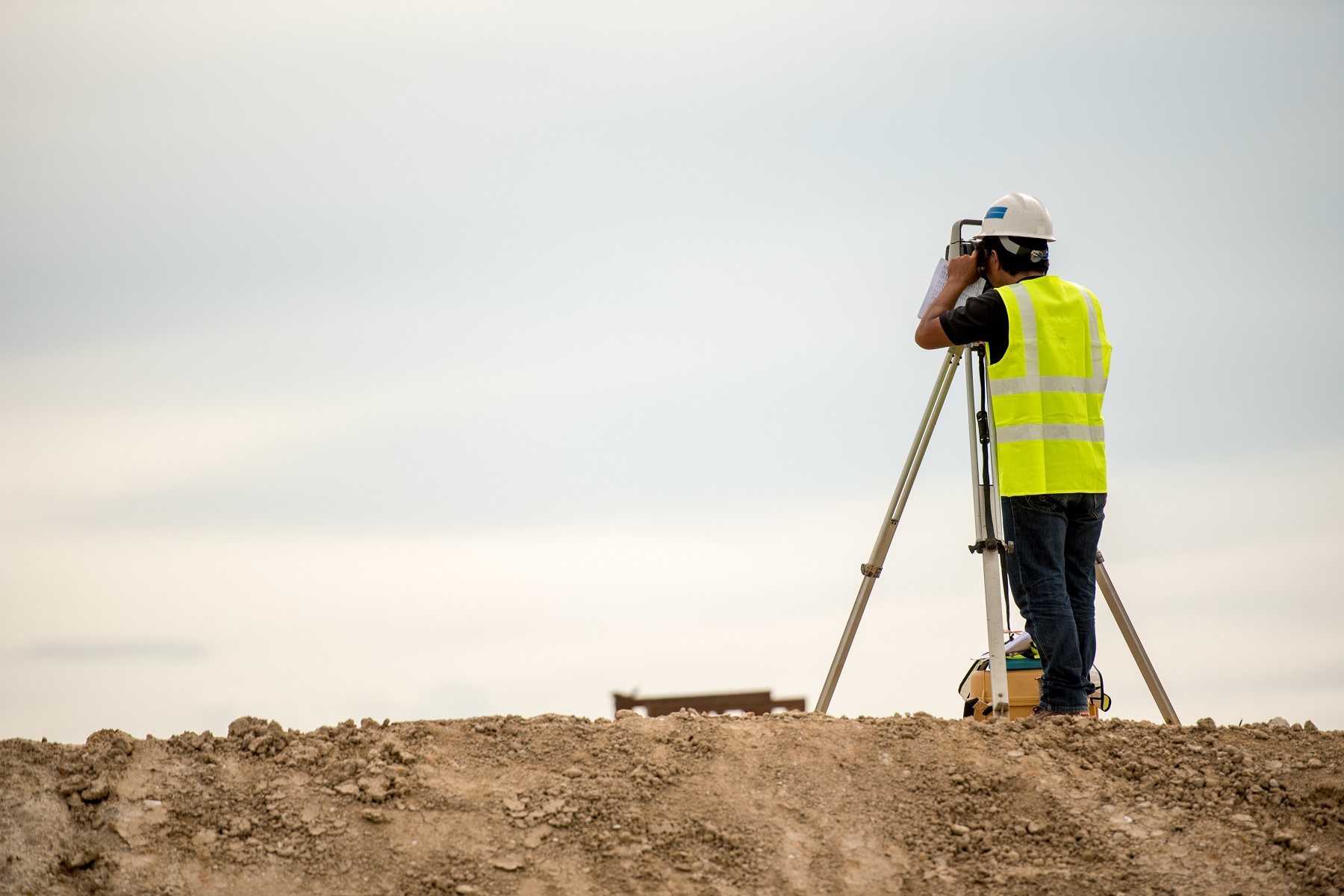
Statiker provides a full suite of surveying services to our clients across Sydney. Using the latest survey equipment and computer technology, our registered surveyors capture the necessary data and present it to you in the format you need. Our clients include private clients and local government. Whatever the size and scope of your project, you can rely on the team at Statiker to deliver when you need specialist surveying expertise.
Our surveying services include (but not limited to):
Land (Contour) Surveys
Engineering Surveys
Boundary Surveys
Identification Surveys and Reports
Building and Strata Surveys
Volume (Cut and Fill Plans) Surveys
Works As Executed Plans
Subdivision Plans
LandXML
Laser Scanning & BIM Surveys
Land (Contour) Surveys
Whether you need a straightforward land or contour survey to determine property boundaries or a specialist land survey for land development, Statiker is the team you can trust. We obtain the level of detail you need using the latest measuring and scanning equipment, as well as construct a highly accurate map or plan that provides you with the information you need.
Engineering Surveys
Whatever the size and scope of your civil engineering project, we can provide you with the engineering survey you need. Connect with Statiker to obtain reliable data, establish geographical boundaries, and ensure compliance with building regulations in your area.


Boundary Surveys
Our Registered Land Surveyors can carry out all types of boundary surveys in accordance with the provisions of the Surveying & Spatial Information Act 2002. Our surveyors locate, define, mark and determine boundaries of a parcel of land according to the relevant principles of law and the rights of affected parties. In addition, boundary surveys identify any easements, covenants, or restrictions and help you avoid disputes.
Identification Surveys and Reports
An identification survey shows the location of any structures and improvements on a lot in relation to the land’s boundaries. This type of survey is also required to identify existing easements, covenants and restrictions, and document any encroachments by or upon the subject property. You might also need an indication survey to resolve a disagreement over the location of a building or fence that is on or near a boundary.
Building Surveys
As well as issuing building permits, the building surveyors at Statiker can carry out comprehensive building inspections, building setout surveys, ‘work as executed’ surveys, and identification surveys. We can also provide regulatory advice on construction issues.
Strata Surveys
From small suburban developments to large mixed-use, multi-level, constructions, we can provide the strata survey you need. Don’t risk costly errors or omissions. Allow the team at Statiker to handle the project from planning through to lodgement.


Volume (Cut and Fill Plans) Surveys
Our specialist volumetric surveys enable you to calculate the volume of stored or excavated material on a site. Our clients include Councils and other bodies that need to uproot details of the landfill to the EPA every six months. For bulk earthworks, excavation, stockpile volume measurement and compaction volume determination, get in touch with Statiker.
Rural Surveys
Statiker’s rural land surveying services include rural subdivisions, seismic surveys, and surveys of fence lines, grain, pipeline construction, coal volume, and crop alignment. We can also help with pre-purchase land identification and remote location construction.
Subdivision Plans
Our licensed surveyors are experienced in undertaking subdivision of parcels of land for selling or development. We can deal with the full subdivision process from design, application and surveying through to approval.
Topographic Surveys
A topographic survey is also known as a contour or detail survey. There can be a number of reasons you might require a topographic survey, including to accompany a Development Application (DA). Depending on individual requirements, this type of survey can show buildings and driveways as well as trees and natural surface features such as watercourses, embankments, rock outcrops and contours.


LandXML
LandXML is the national standard for digital lodgement of cadastral plans. The Land XML Model accommodates all the data needed to process a plan from lodgement and registration through to the Digital Cadastral Database (DCDB) update. Plan approval and registration is far more efficient.
Laser Scanning
Using the latest laser scanning technology, the surveyors at Statiker can acquire 3D data of an object’s surface. With the help of cutting-edge software, we create models in any format for assistance in a range of applications including construction, mining and infrastructure projects.
BIM Surveys
Building Information Modelling (BIM) is an intelligent 3D model-based process. Increasingly used in the construction industry, BIM provides architect, engineers and construction professionals with the tools and insight they need to create savings and efficiencies, drive collaboration, and better manage projects.

Whether you need land surveys, building surveys, cadastral surveys, boundary surveys, topographical surveys, or any other specialist survey, get in touch with the team at Statiker and see how we can assist you today.
Contact UsRelated Services
Geotech Engineering
We have been providing engineering services in NSW/ACT region for a number of years. We have the business capacity to be able to service a large volume of clients.
Traffic Engineering
Statiker’s traffic team provides swept paths, traffic control plans, construction traffic management reports & more for your next projects.
Structural Engineering
At Statiker, we understand the technical, and environmental factors that influence the stormwater management.


